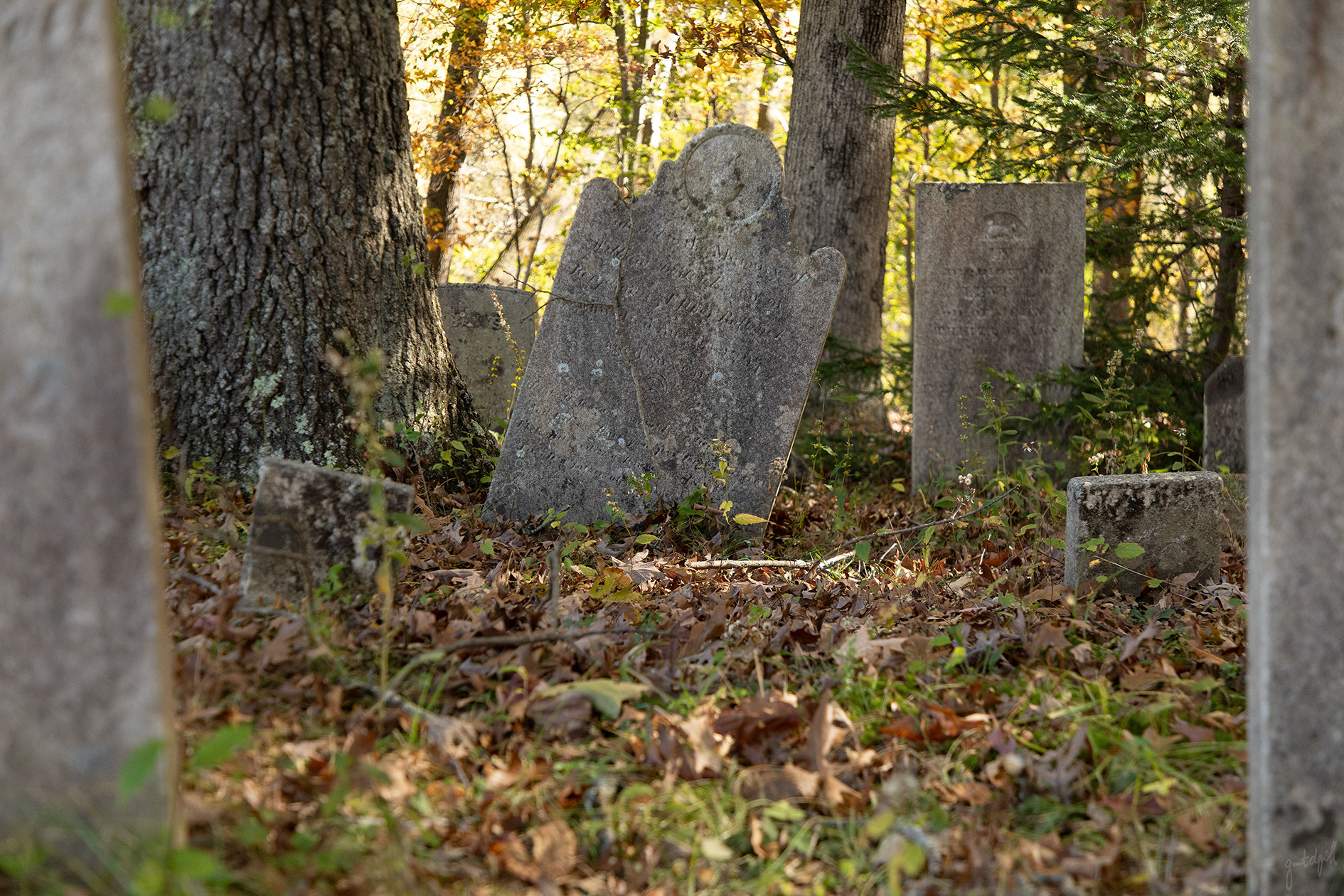
Beneath The Leaves: Exploring A Pair of New Milford's Forgotten Homesteads
Have you ever come across square or rectangular stone ruins in the woods?
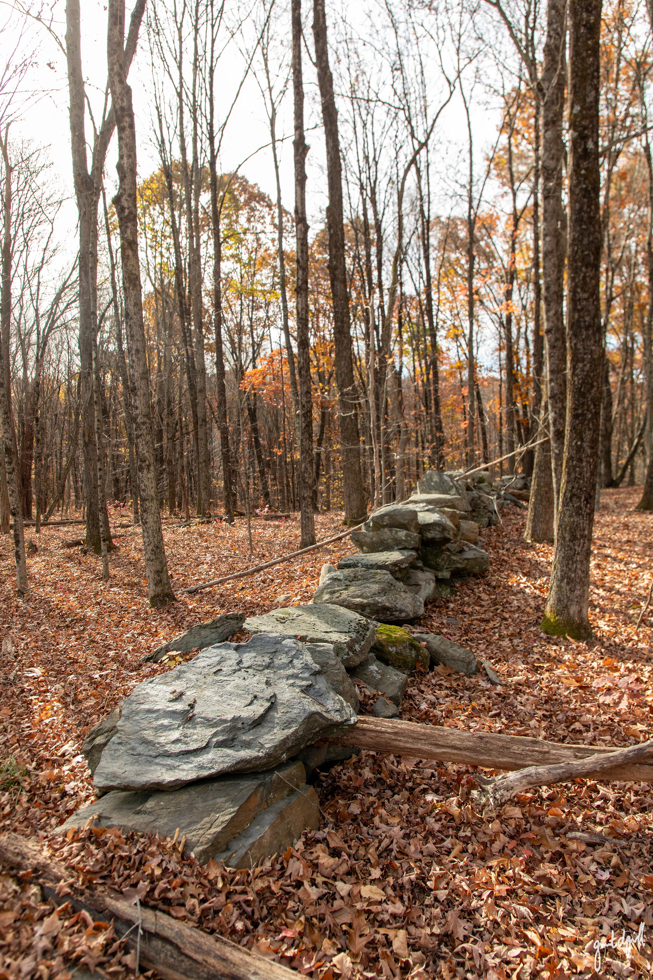
I'm not referring to the long stone walls that crisscross the forest, built from rocks cleared from farm fields centuries ago, but rather smaller structures made of carefully stacked stone.
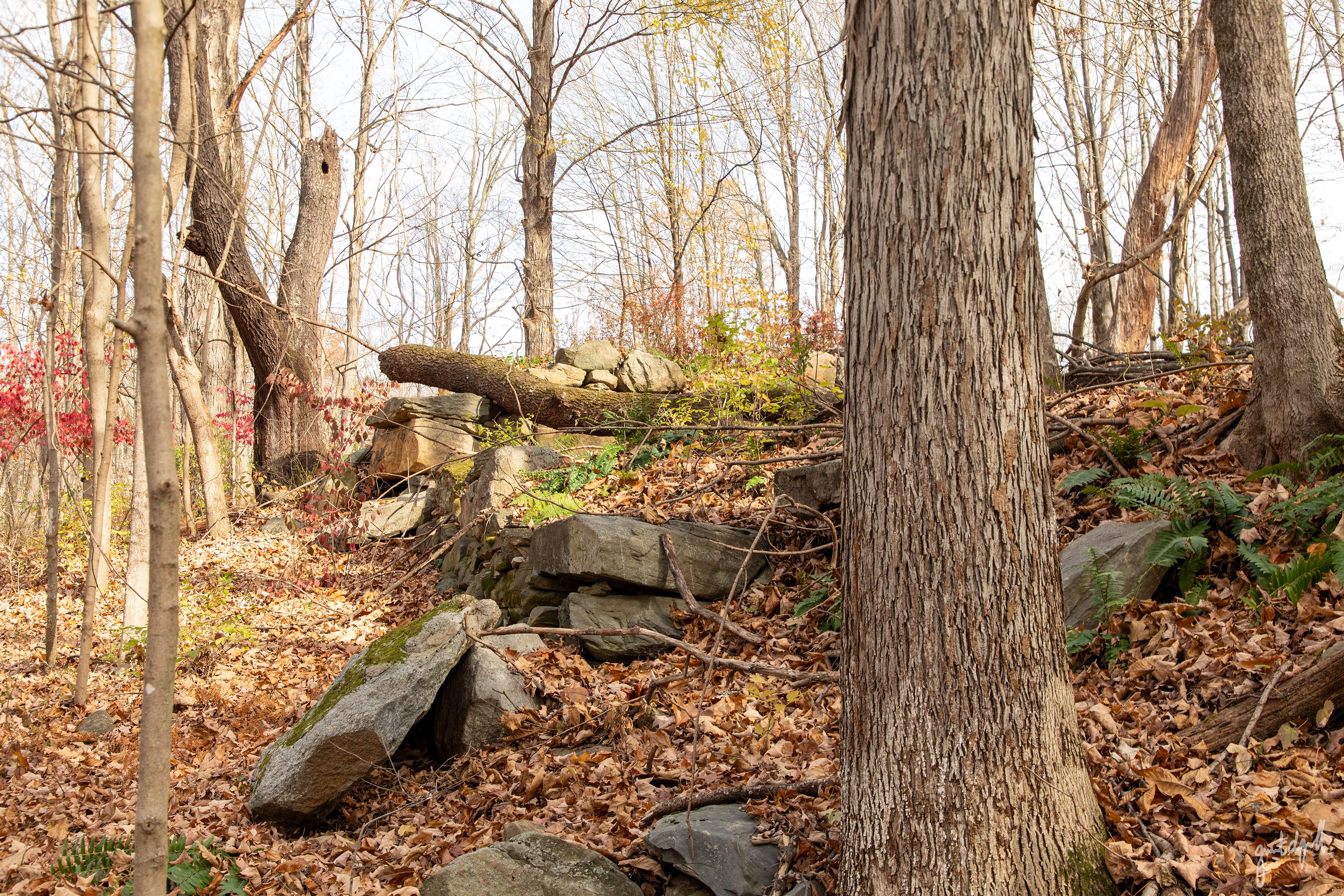
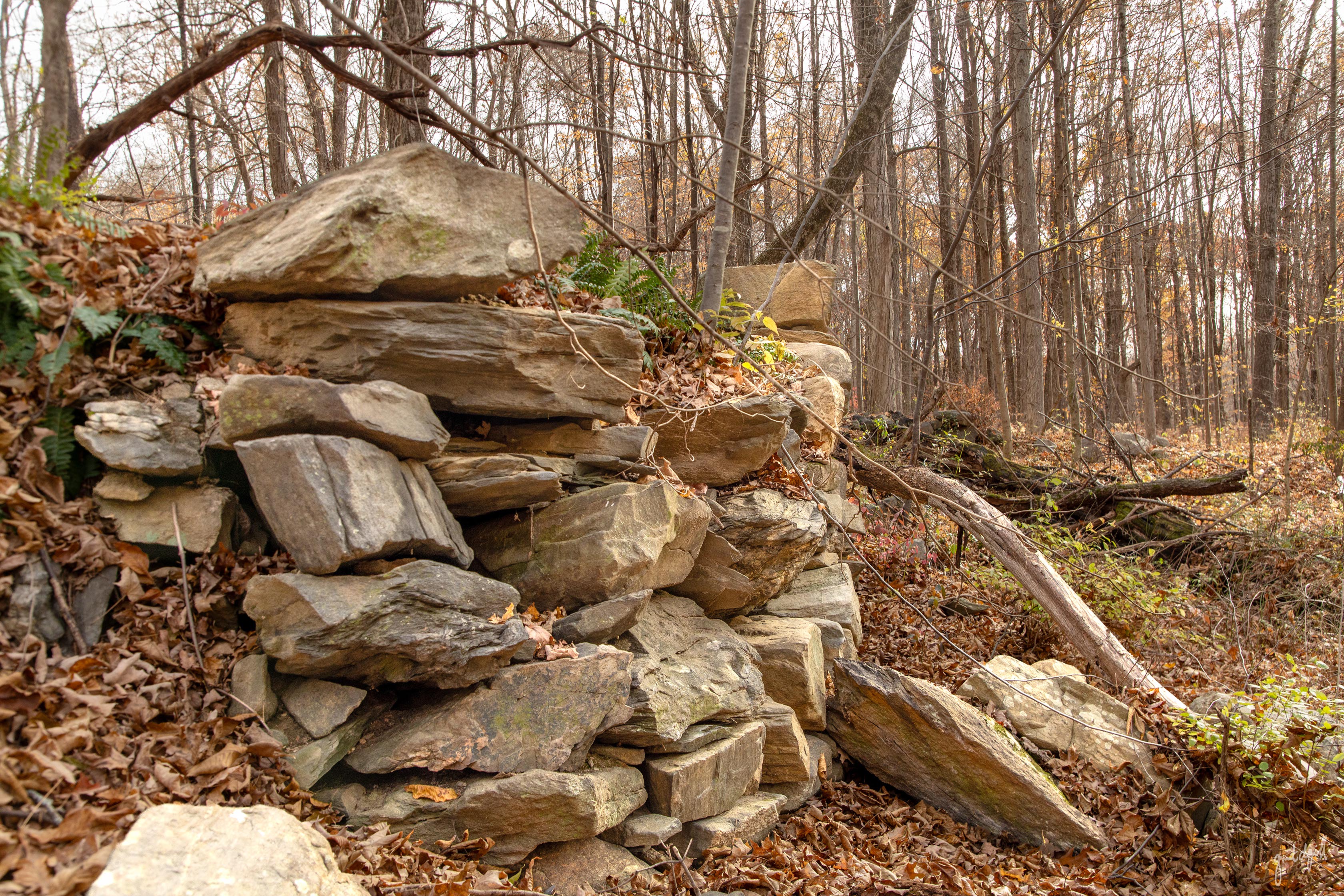
Some stand above ground, while others are mostly hidden beneath the surface, their foundations forming depressions lined with fieldstone.
Over the decades, many have become filled with leaves, fallen trees, discarded farm implements, and sometimes even empty modern day beverage cans.
Chances are, you've stumbled across a cellar hole, the remains of a long-forgotten homestead.
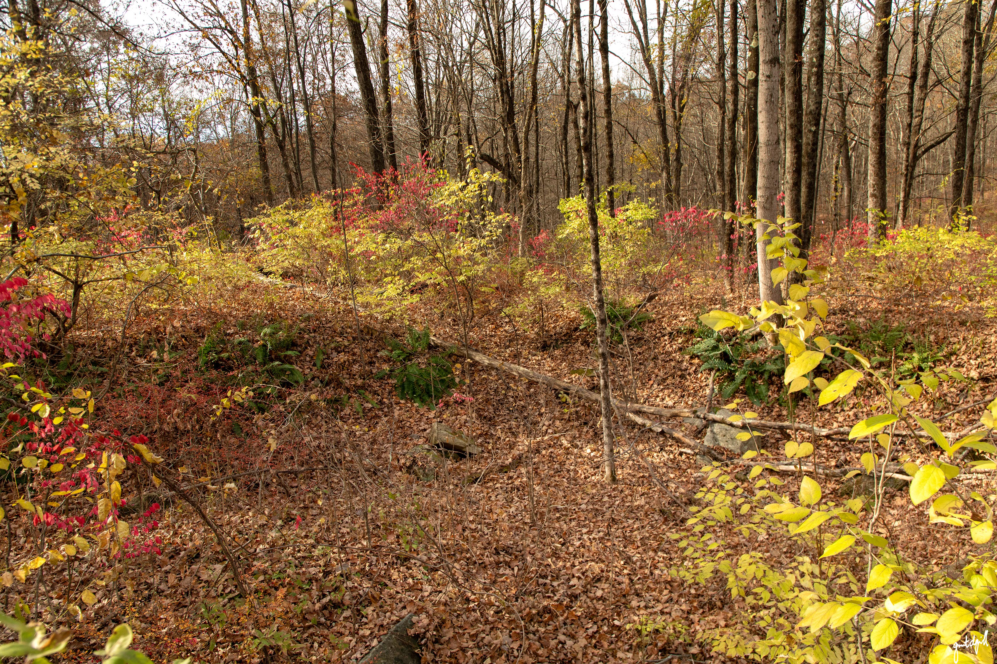
The woods of New England are dotted with them, and New Milford is no exception. In fact, just a few miles from the Village Green, several are hiding (almost) in plain sight within the Town's Reservoir Park.
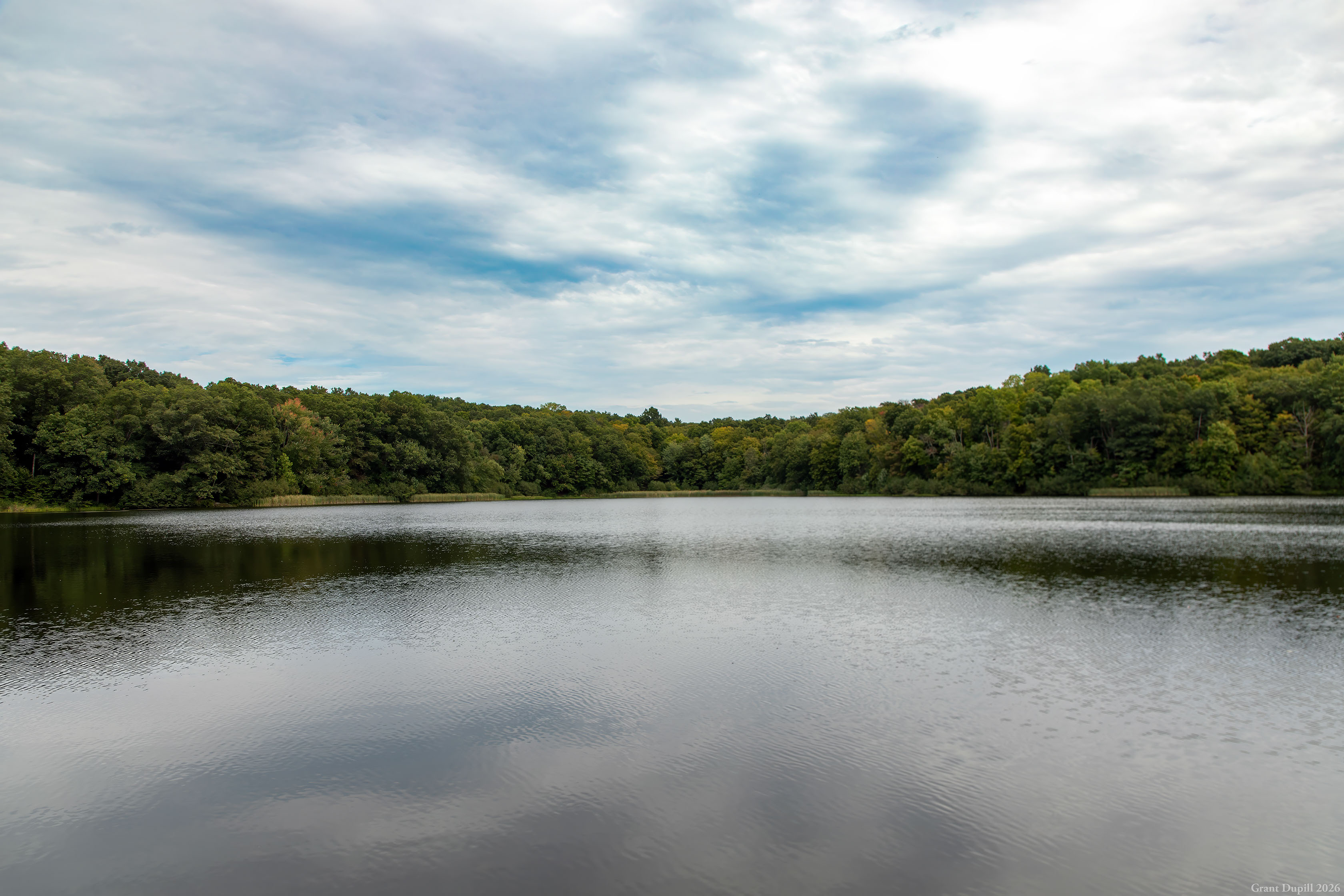
I grew up on Second Hill Road and spent a considerable amount of time exploring these woods, long before they became a Town park.
As a kid, I never gave much thought to the structures scattered throughout them.
They were simply fun places to play.
I do remember clearing the one closest to my parents' house of discarded aluminum cans, which I would return for five cents apiece at the former IGA, where CVS now stands.
It wasn't until much later in life that I began to appreciate just how old these foundations might be and the history they represent. There's also something a little unsettling about looking back on all those childhood adventures.
These seemingly harmless ruins can conceal some very real dangers, something I didn't become aware of until relatively recently.
Today, I'll take you through two abandoned homesites, both of which almost certainly date to the 1700s, along with the remains of what were likely barns or other agricultural structures.
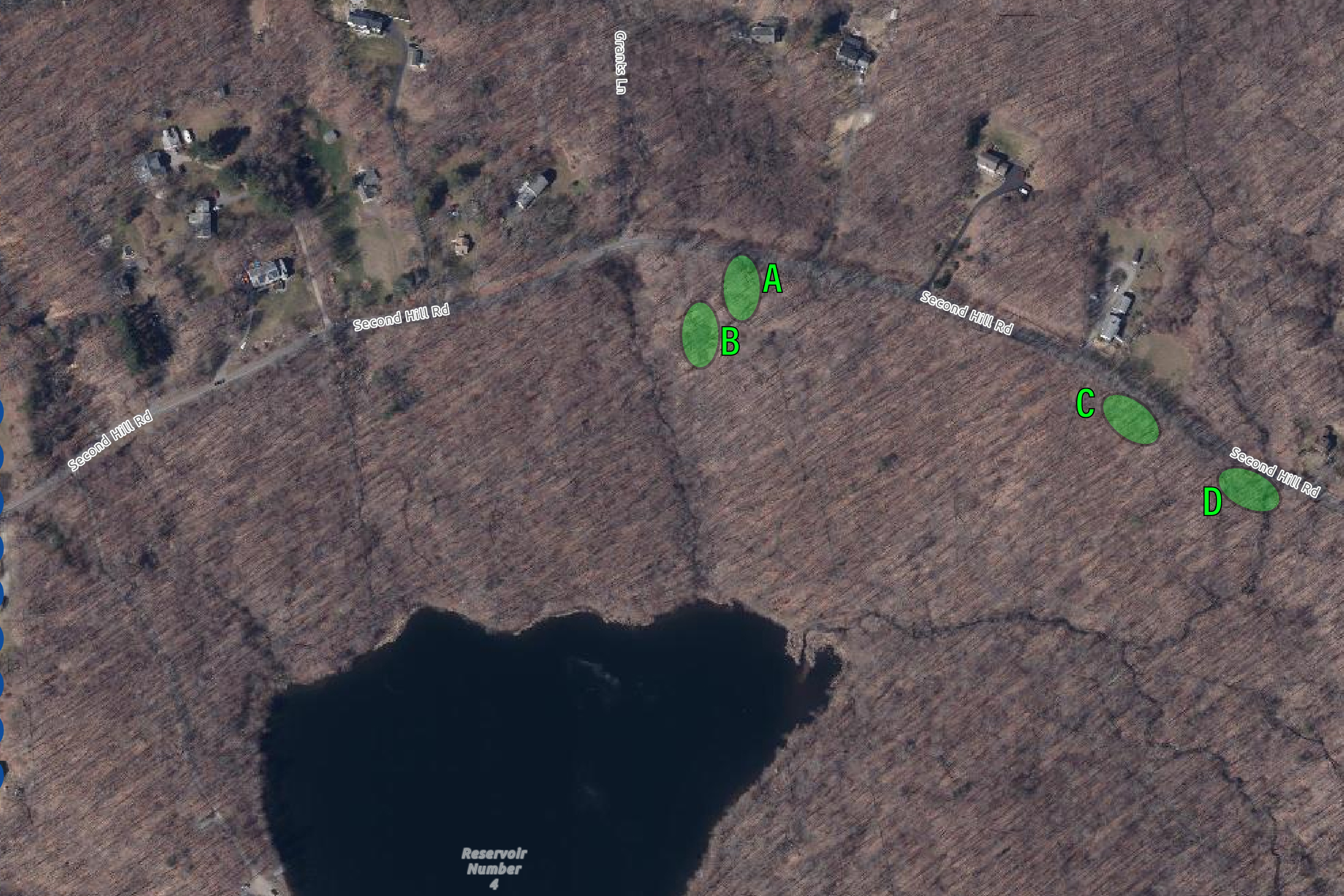
All are relatively accessible and just a short walk from the eastern U-shaped parking area within the park.
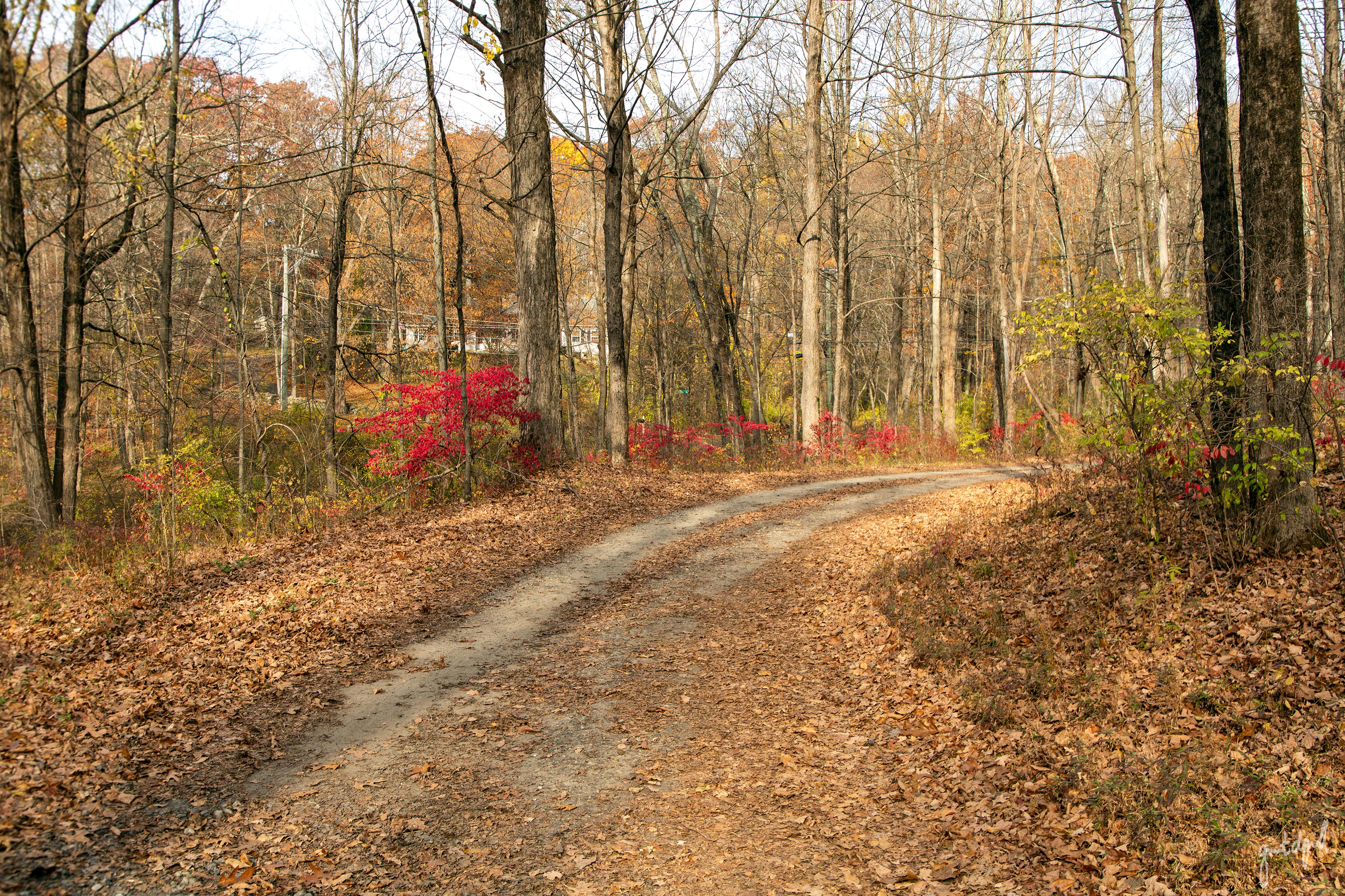
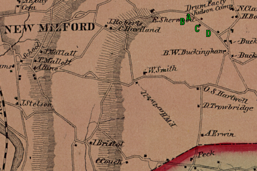
To help put everything into perspective, I've included a clipping from the 1859 Clark's Map of Litchfield County, Connecticut, a LiDAR scan (Light Detection and Ranging) showing the contours of the landscape, a 1934 aerial photograph, modern satellite imagery, and photographs I took this November with a DSLR camera.
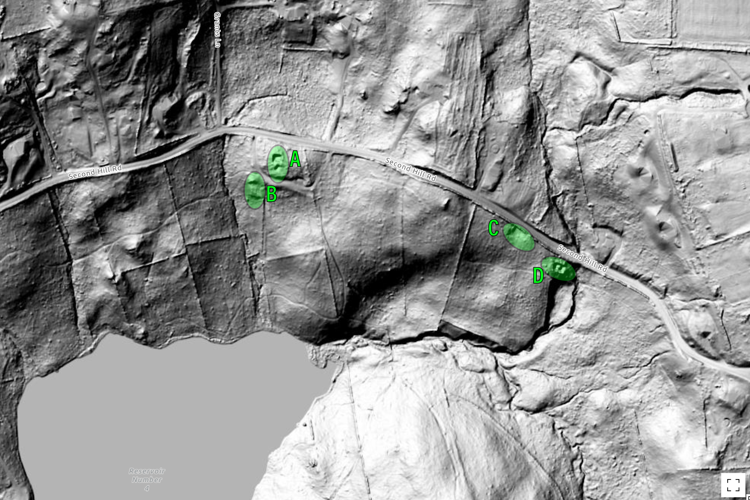
Sites A and B: The Home of John and Annis Camp (Later Elijah Judson and Adeline Northrop Camp)
John Camp, a Revolutionary War soldier, and his wife, Annis (Northrop) Camp, settled on Second Hill, likely sometime after their marriage in 1791. Their first son, Elijah Judson Camp, was born on August 25, 1792. He would later acquire the property, which is identified under his name on the 1859 map. Their other sons, Nathan Hawley and Garardus Welles, were born in 1794 and 1799, respectively.
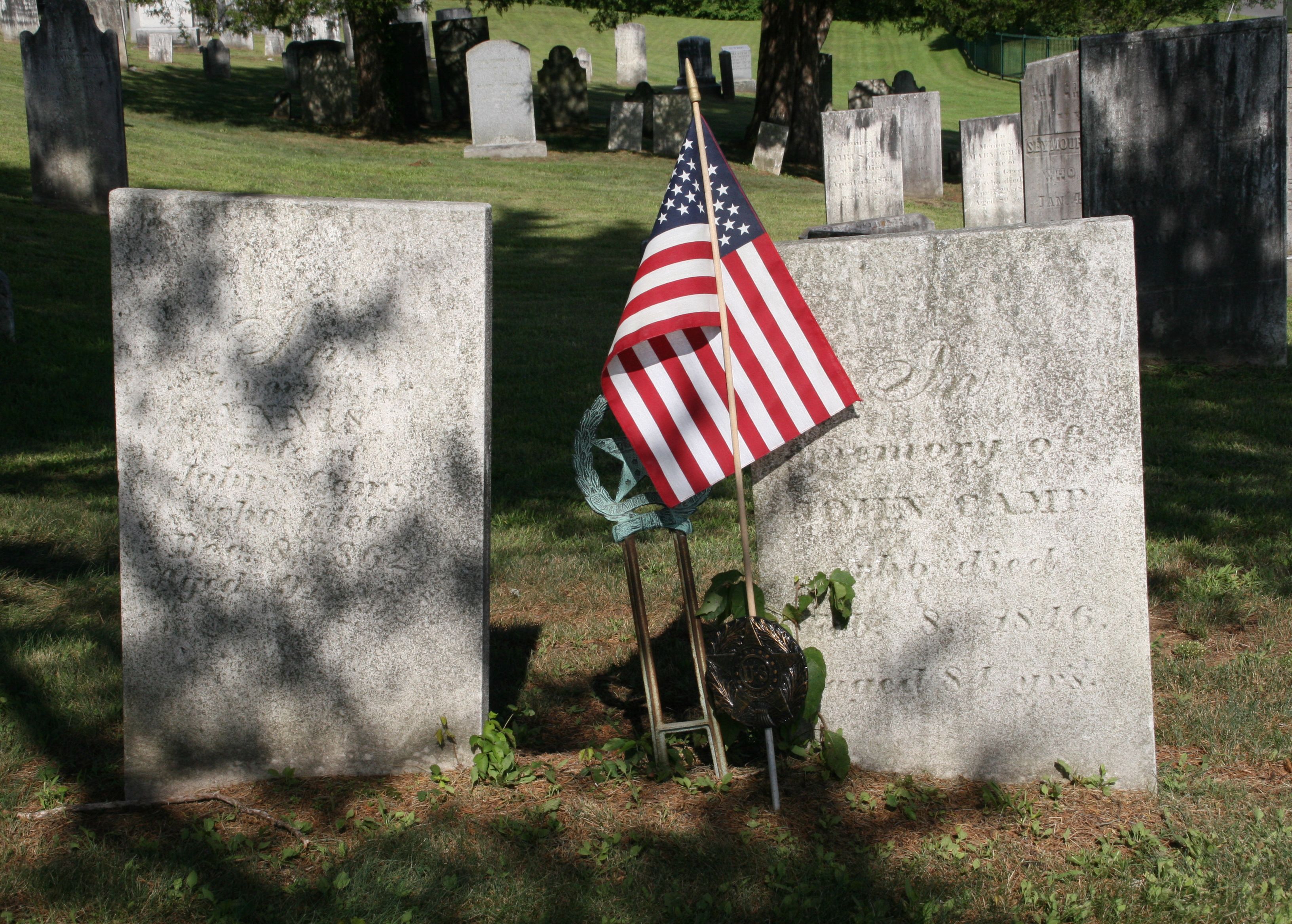
According to Samuel Orcutt's History of the Towns of New Milford and Bridgewater, Connecticut, 1703–1882, John Camp's Revolutionary War fife was held by his grandson, Charles B. Camp.
Orcutt also mentions that Camp possessed "a silver pipe."
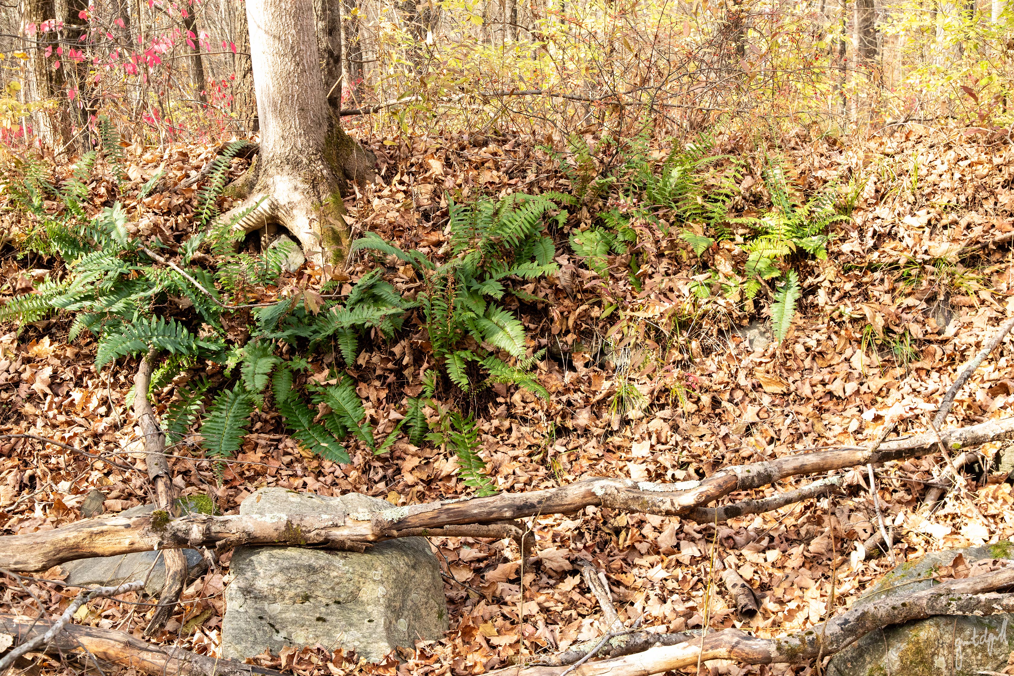
Of the dozens of cellar holes I've explored throughout Connecticut, I’d say this particular homesite is in relatively good condition. It is certainly filled with decades of leaf litter, but the foundation is still quite walkable, despite the bittersweet, barberry, and other invasive plants that have taken hold.
The structure appears to have had a main section, with what may have been a smaller later addition on its southern side.
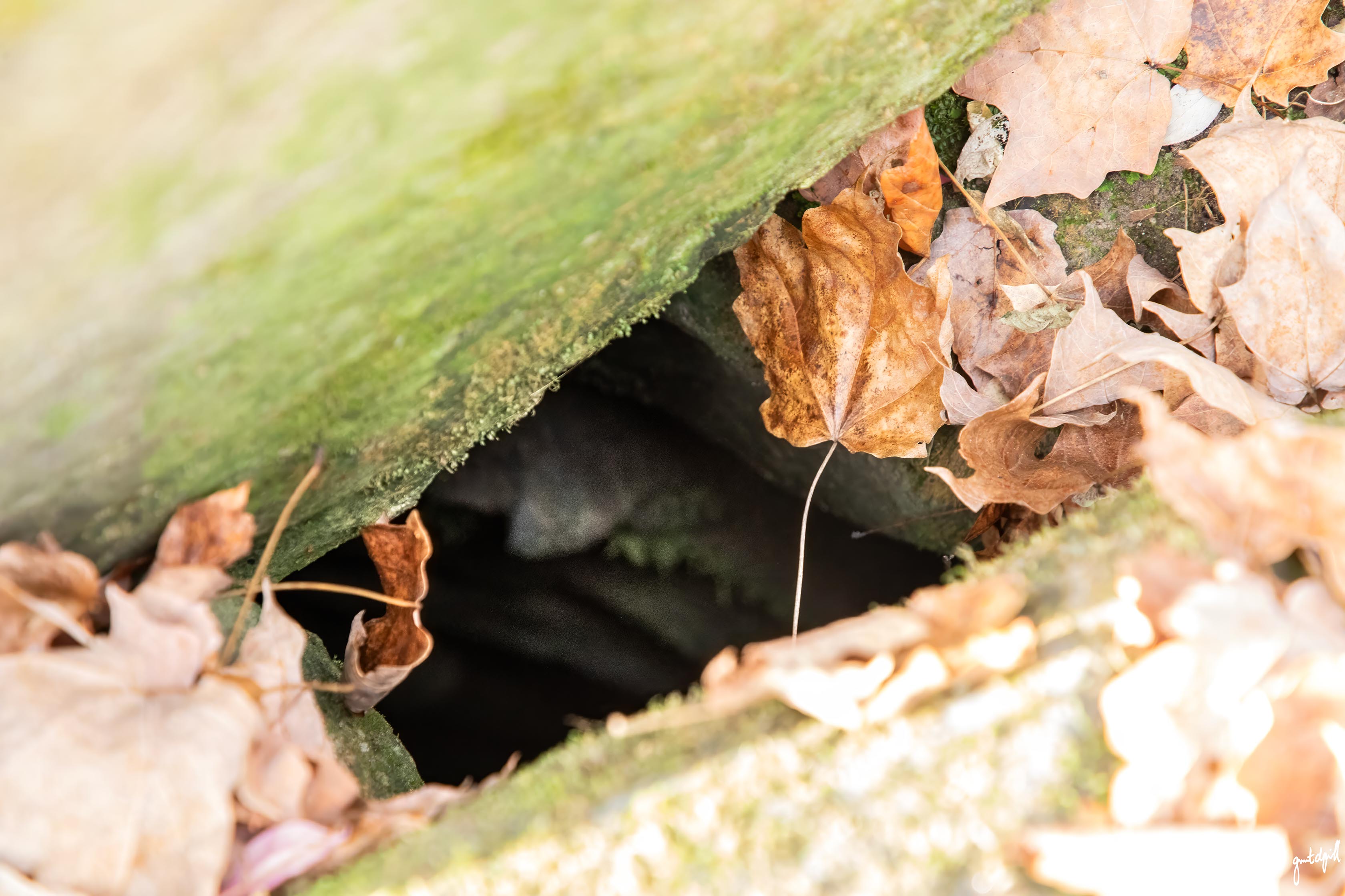
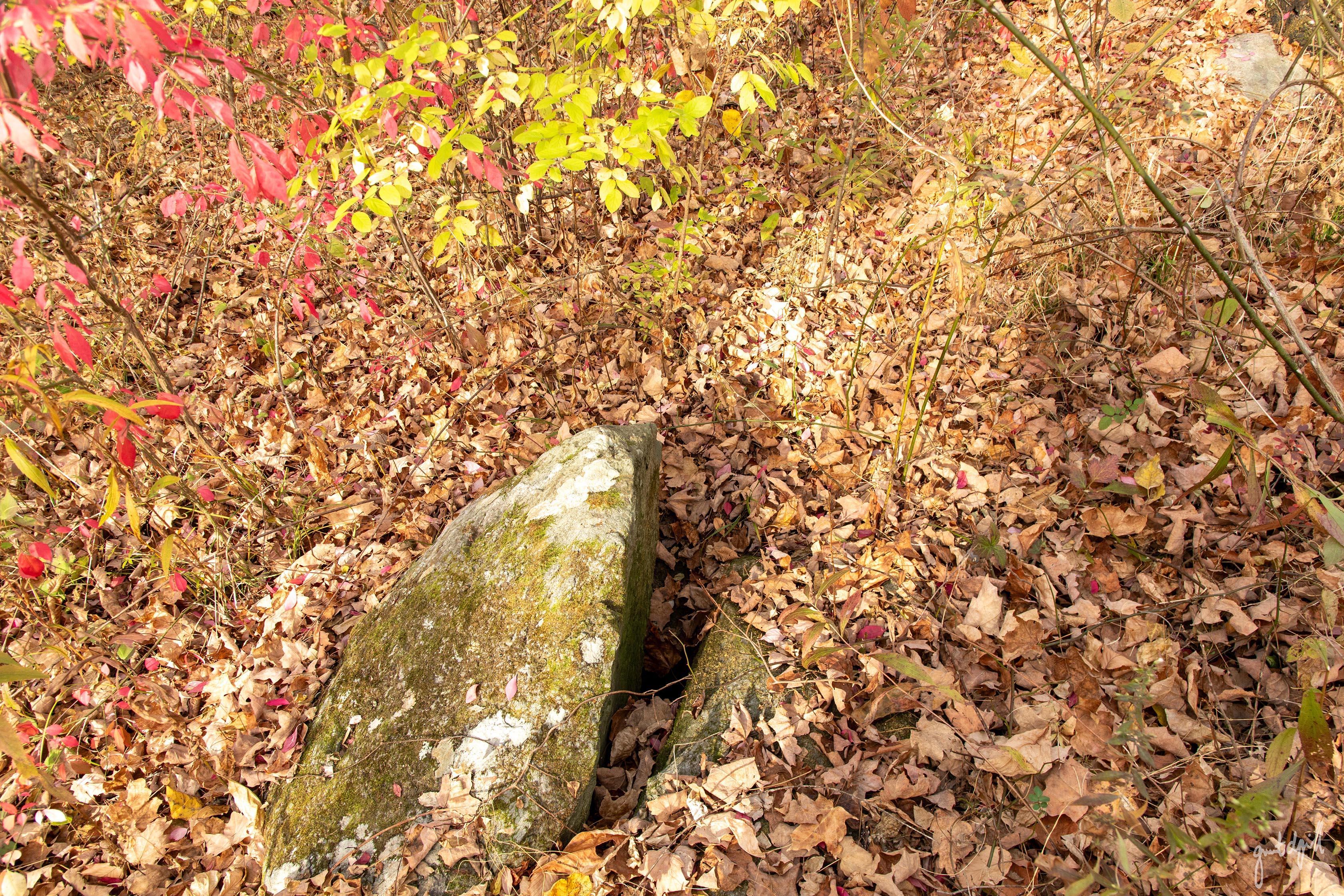
The well sits immediately alongside the foundation, covered by a large rock.
Although the ground is now blanketed in leaves, I recall finding shards of glass and pottery at the surface during previous visits. These may have gradually worked their way up through a century or more of freeze-thaw cycles, or perhaps were disturbed during more recent excavation work associated with the surrounding U-shaped driveway and parking area.
In any case, caution is warranted when exploring these ruins, or any others you might encounter in the woods. Beyond the well photographed here, there may be others, along with depressions and other hazards concealed beneath the leaves. While I cannot recall any at this particular location, celler holes often have iron implements and tools like pitchforks at surface level whose iron has survived centuries of the elements.
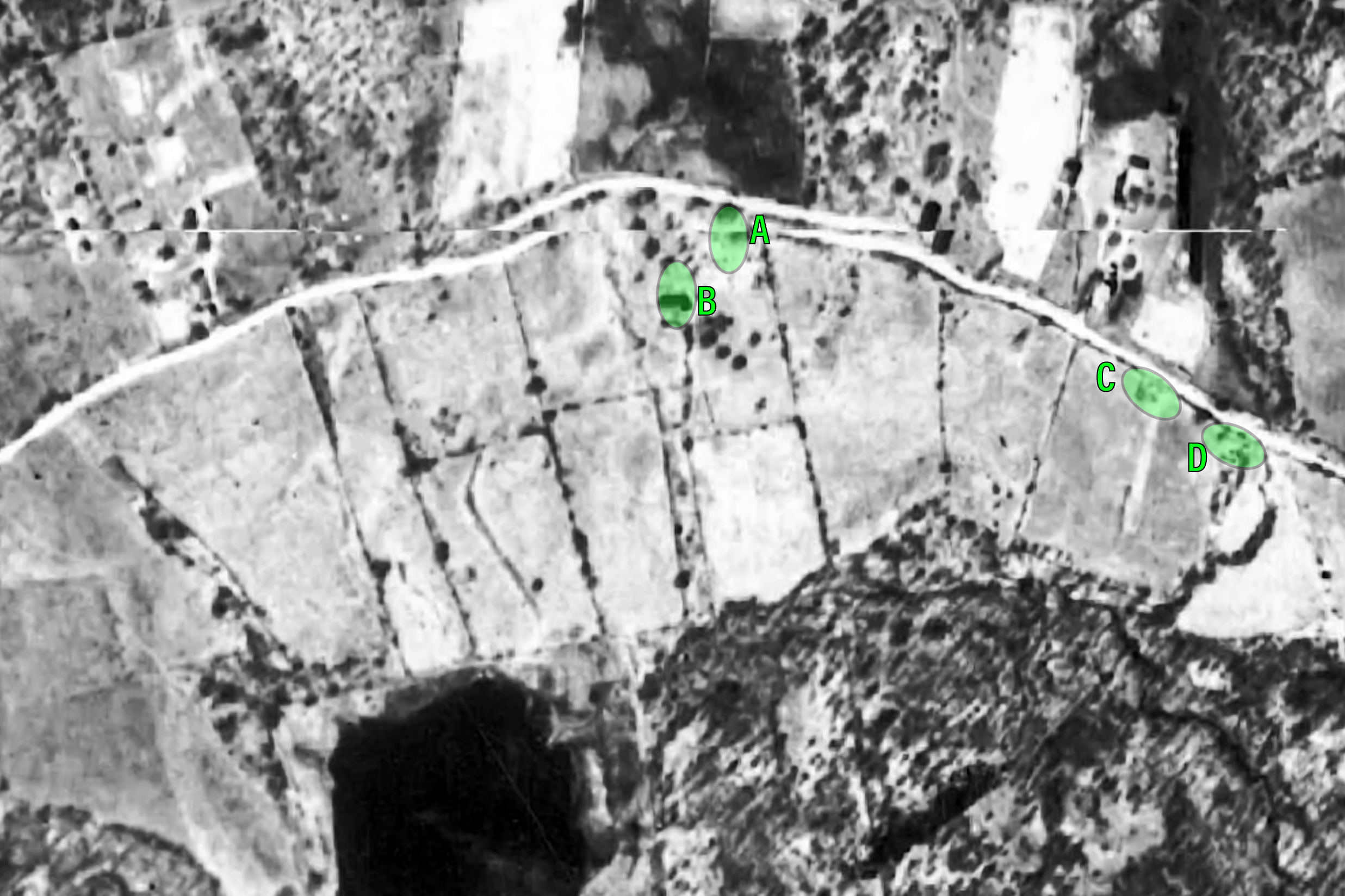
A short distance southwest of the home is what appears to be a much larger barn foundation. Its footprint is perhaps six to eight times the size of the house, and it is constructed with noticeably longer stones.
There's an interesting detail on the 1859 Clark's Map worth mentioning. The property is labeled both "Judson Camp" and "Drum Facty" (presumably an abbreviation for "Drum Factory"). I have been unable to locate any additional information about a drum factory in this area, either online or in Orcutt's history, so for now, that little mystery remains.
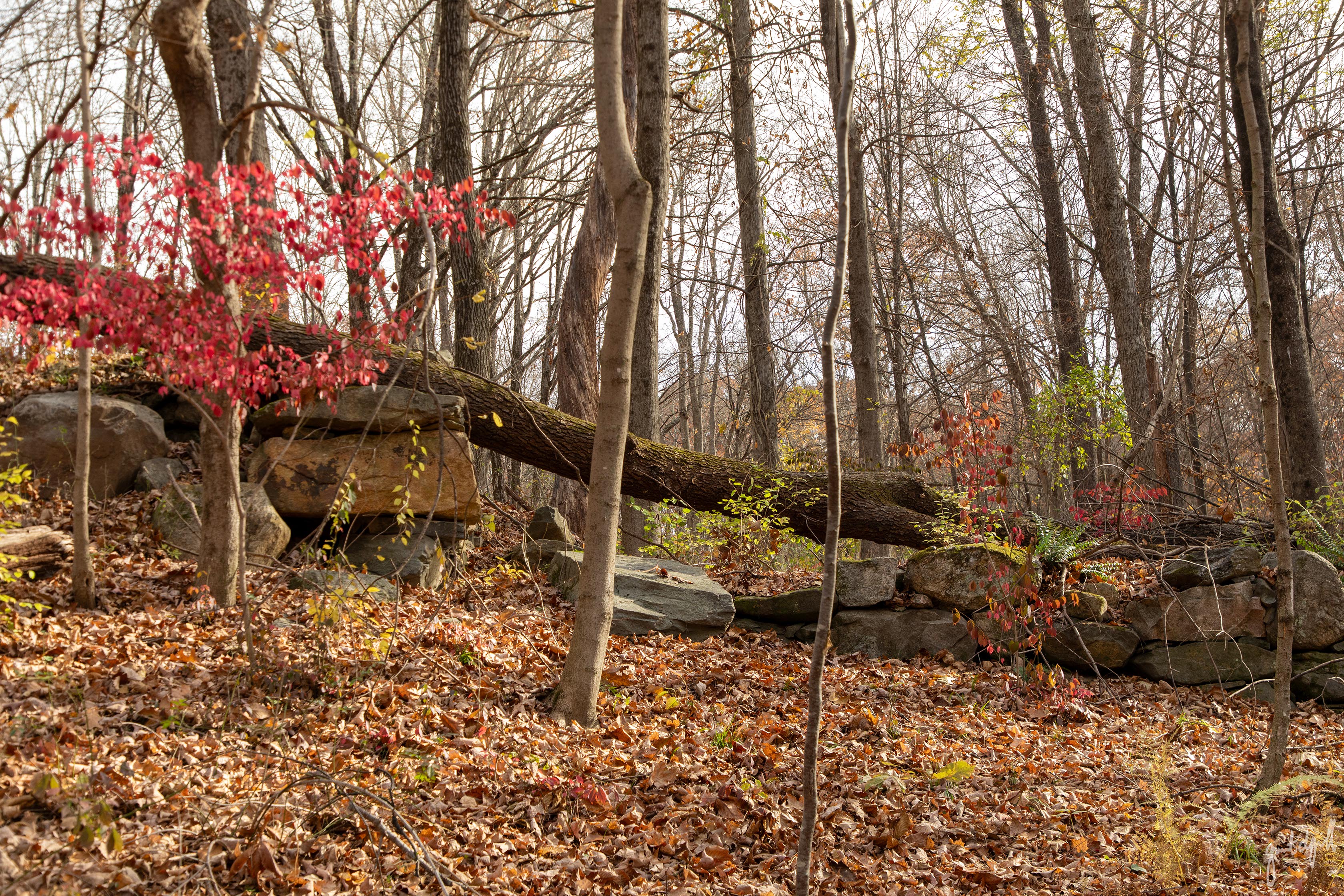
The barn, or perhaps factory, appears to have been a bank barn, built into the side of the hill as the terrain slopes toward the reservoir. This type of construction allowed farmers to drive into the upper level from the uphill side to unload hay or grain, while livestock could enter from the lower level.
A clearly defined cart path or farm road, lined with stone walls along its southern end, seems to support this theory.
Site C: Probable Barn Formerly Belonging to E. Sherwood
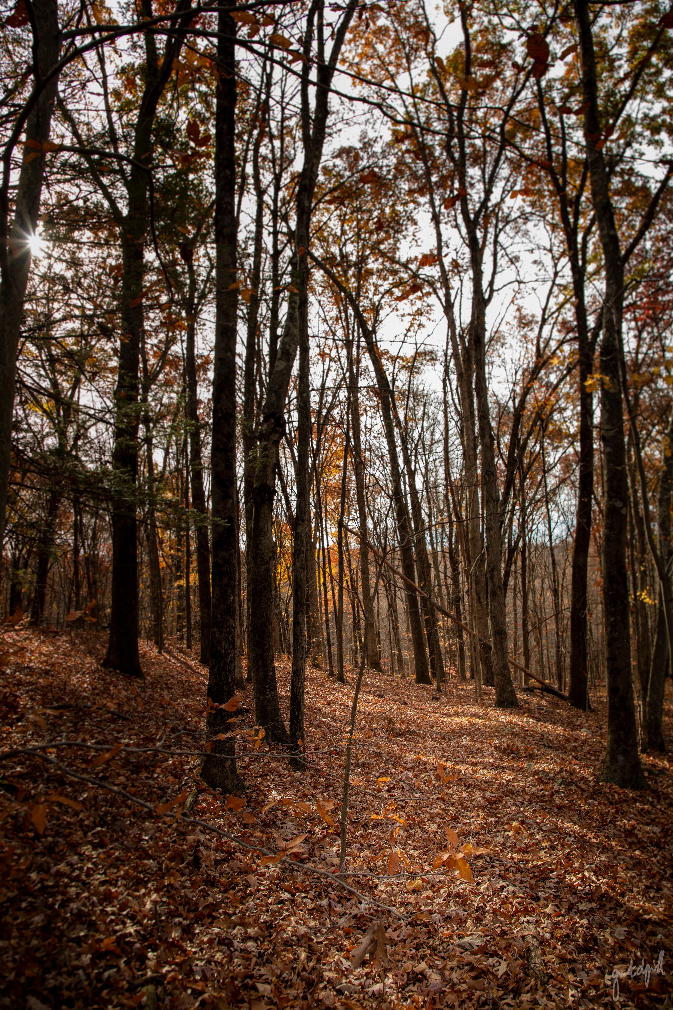
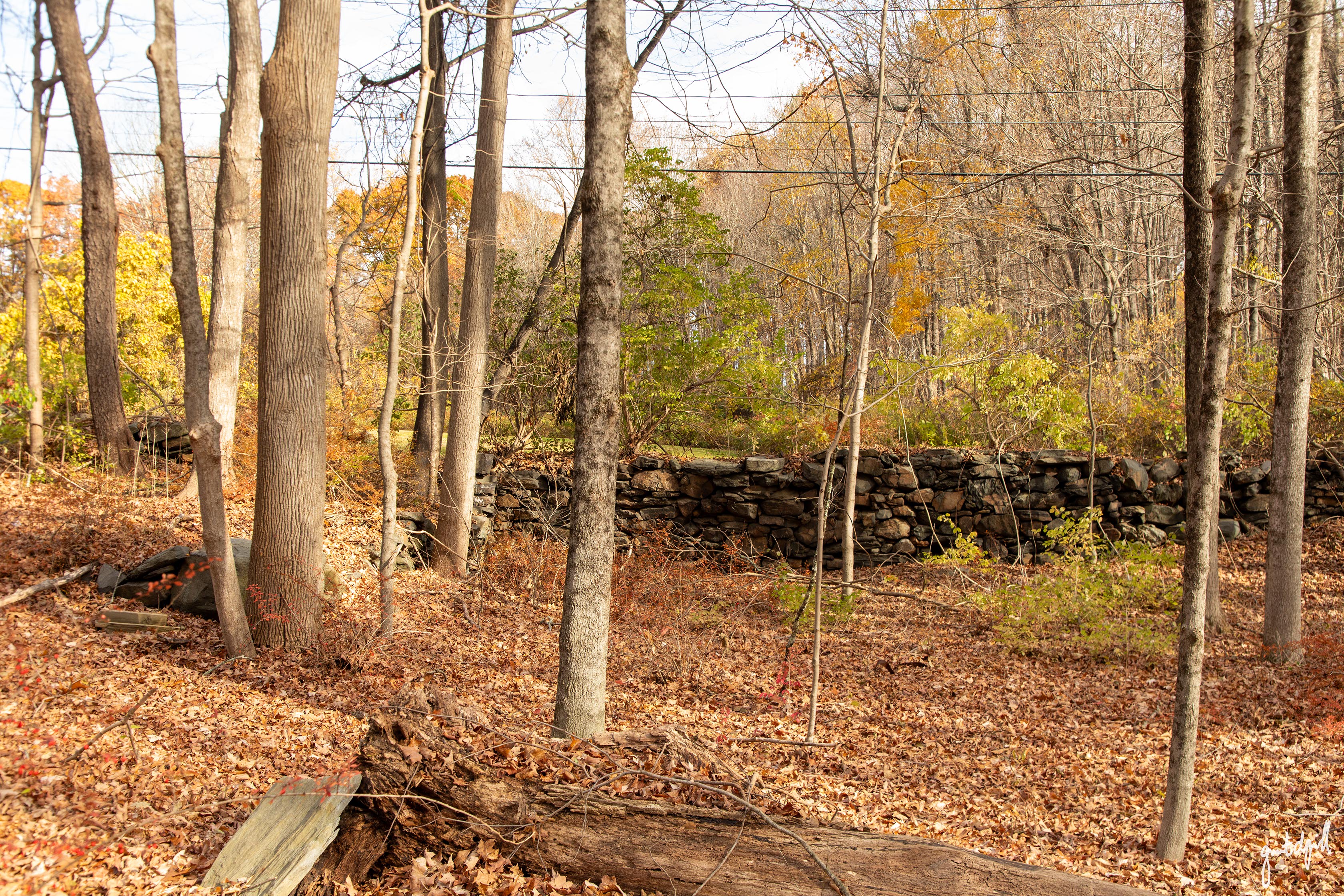
Slightly southeast of the Camp homesite, near the home at 193 Second Hill Road and just beyond the stone wall on the opposite side of the roadway, is a relatively flat depression.
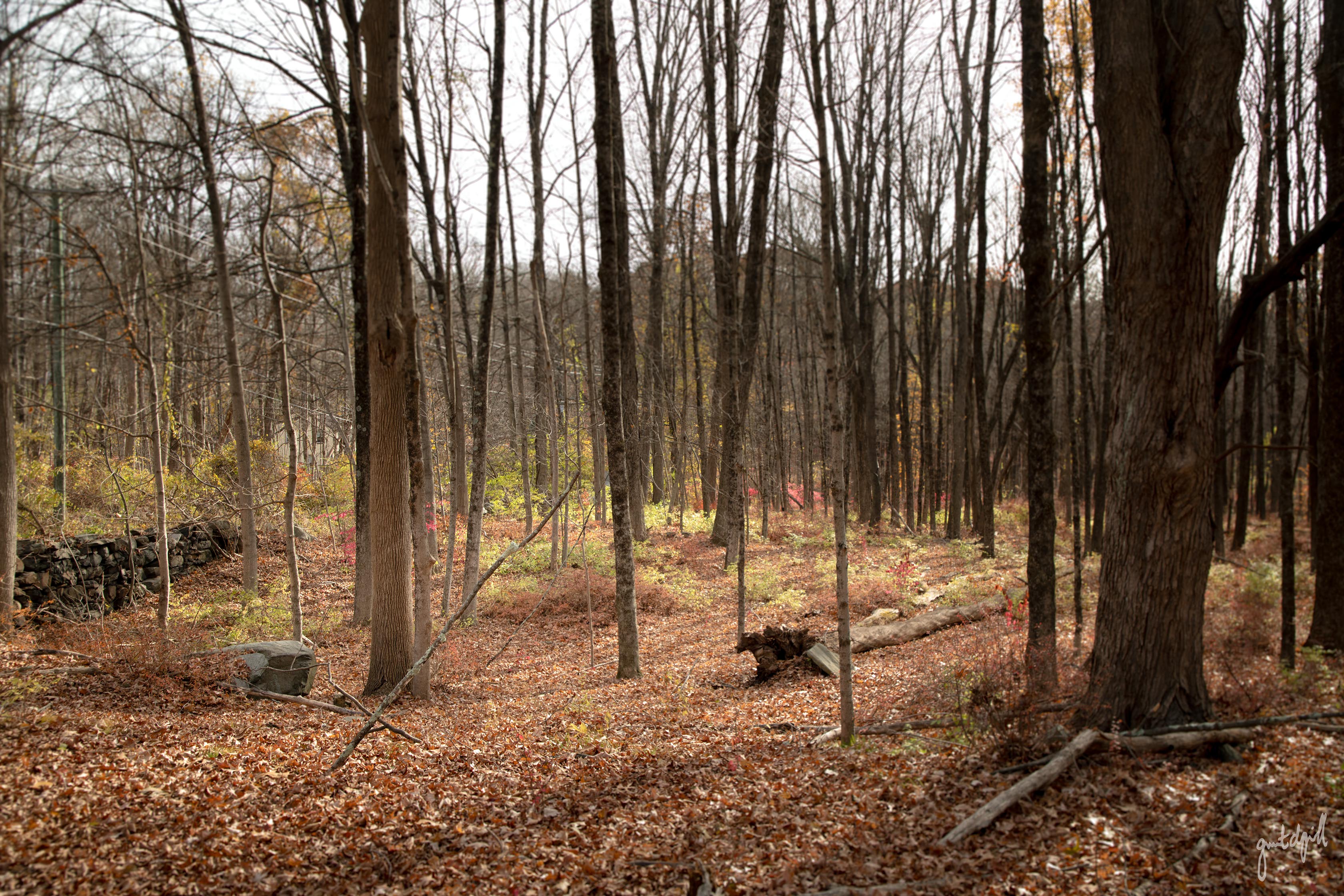
Very little of the original stone foundation appears to remain, with the exception of a wall running north to south. However, when compared with the 1859 map, it seems almost certain that this was the barn belonging to E. Sherwood at the time.
Nearby is a substantial pile of fieldstone, clearly collected and placed there by human hands at some point.
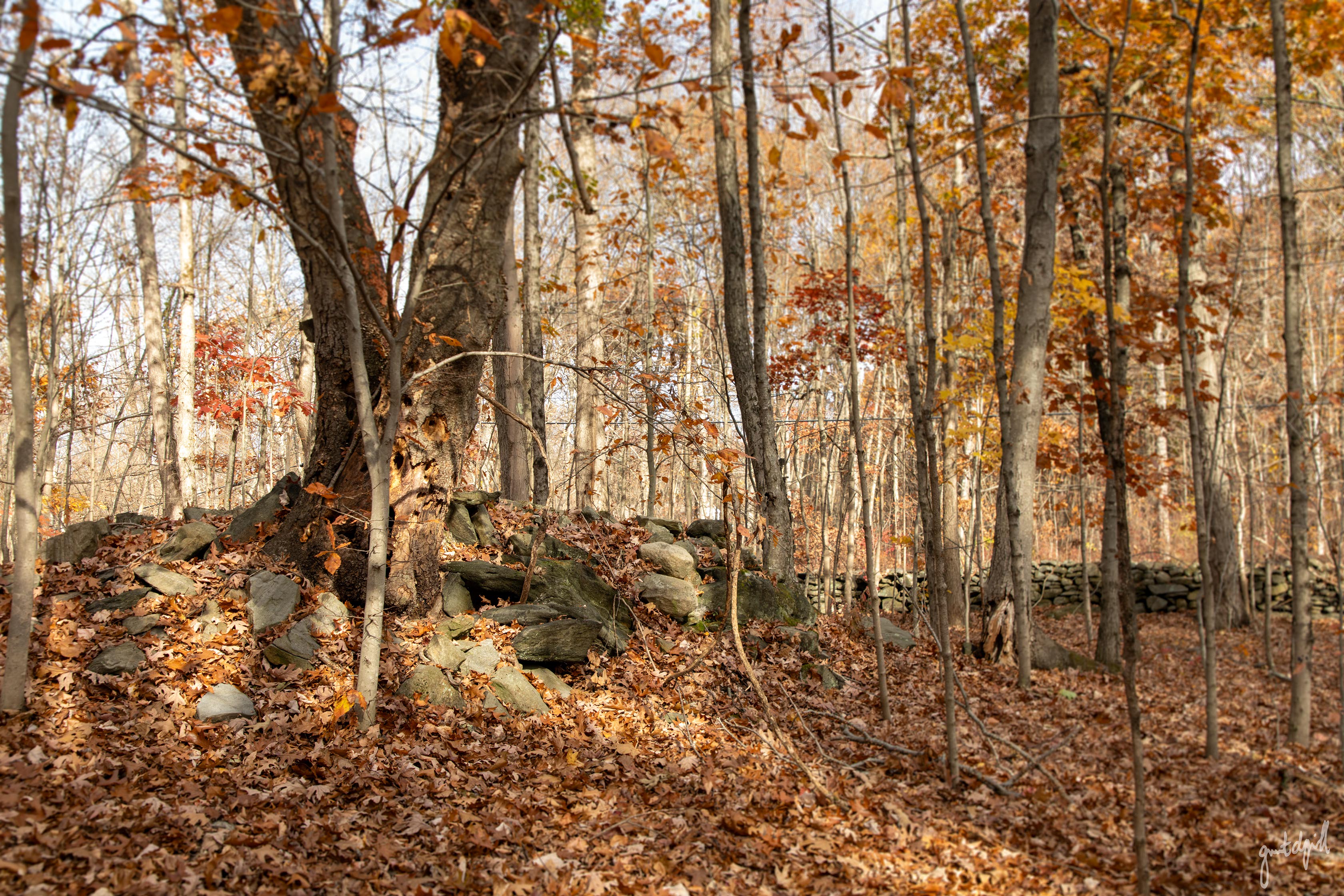
Farmers didn't always incorporate every stone they removed from their fields into the familiar long stone walls that crisscross the woods. Sometimes, they simply piled them up. Stone piles were also used to mark property boundaries, but given the considerable size of this particular pile, it may simply represent the accumulation of rocks removed from agricultural land to make plowing and planting easier.
Site D: An Unknown Homesite with a Center Chimney
Interestingly, one of the most intriguing foundations in this area doesn't appear on the 1859 map at all.
Hidden beneath a thick growth of barberry is the remarkably well preserved foundation of what appears to have been a small but carefully constructed home. Its walls remain largely intact and are built from considerably larger fieldstones than those found at some of the other sites.
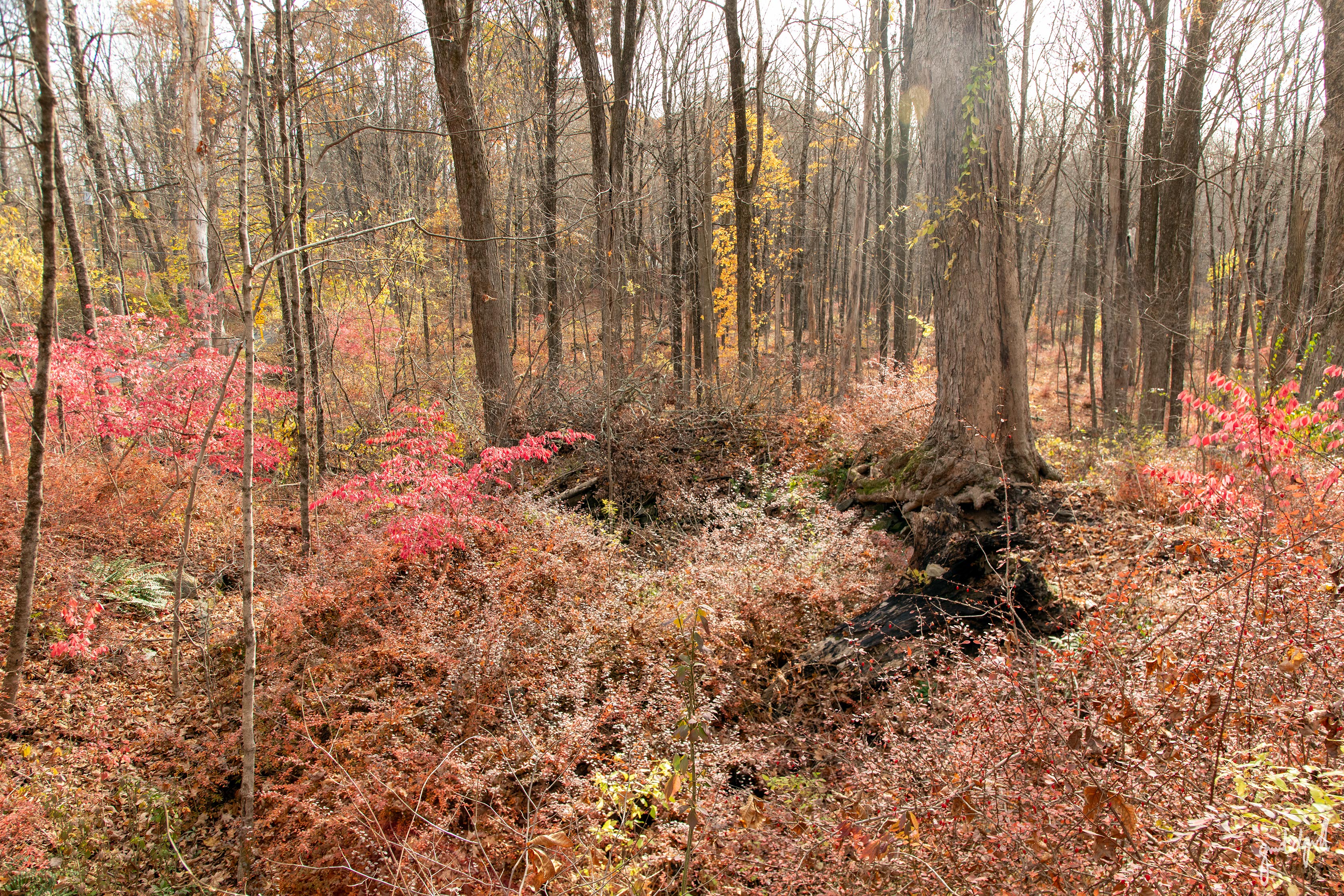
The home was built into the hillside alongside Town Farm Brook, which feeds Reservoir No. 4, and adjacent to land formerly belonging to Benjamin Buckingham.
That last detail is particularly interesting.
Historical accounts indicate that several brigades of Continental Army soldiers camped on Benjamin Buckingham's land from late October into early November 1778.
Whether this particular homesite was occupied at that time is unknown, but the proximity certainly adds another layer of history to an already fascinating location.

Based on its construction and the presence of a center chimney, the house may date to the early-late 1700s.
Center chimneys were a common feature of homes from that period, and its absence from the 1859 Clark's Map suggests the structure had already been abandoned by then.
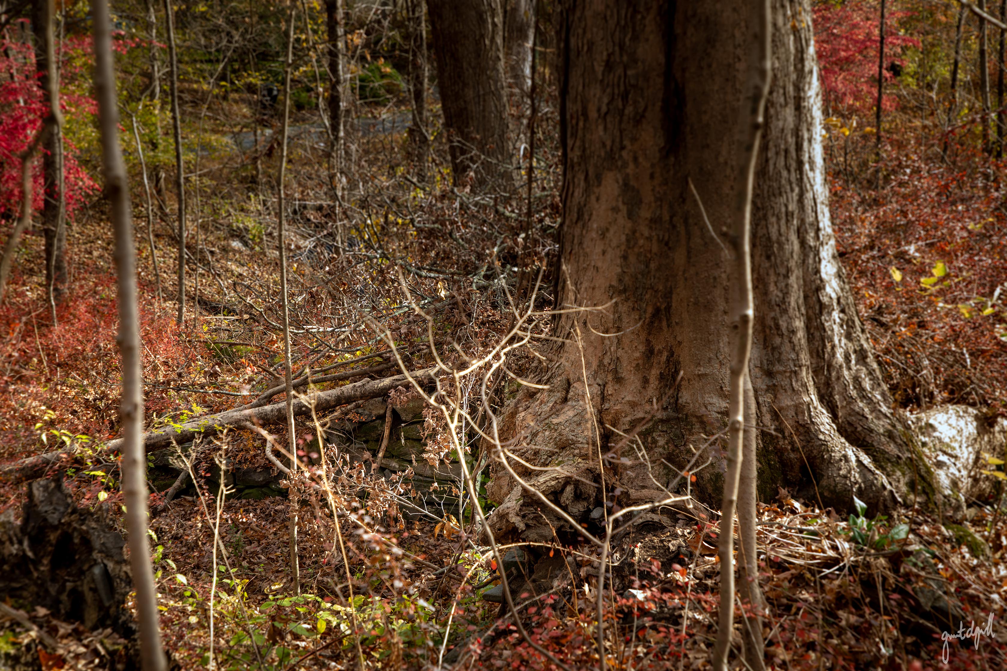
The chimney foundation is still quite obvious, even beneath the dense growth of barberry, and just a few feet west of the main foundation, the well remains remarkably intact.
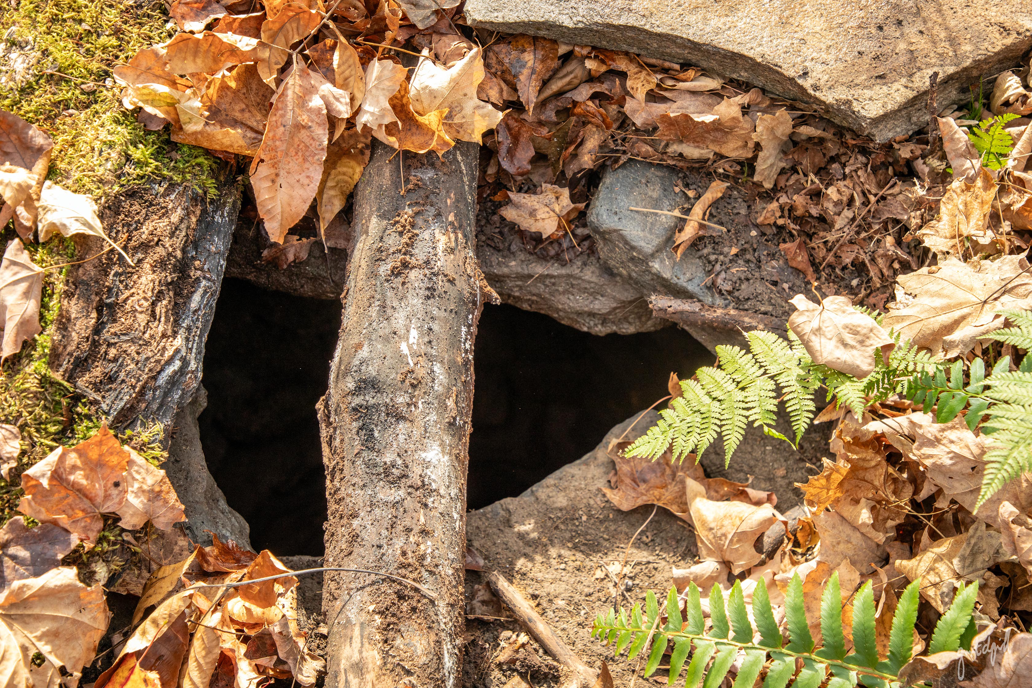
It is covered by several logs and a large, flat stone, with an oddly out-of-place basketball resting nearby.
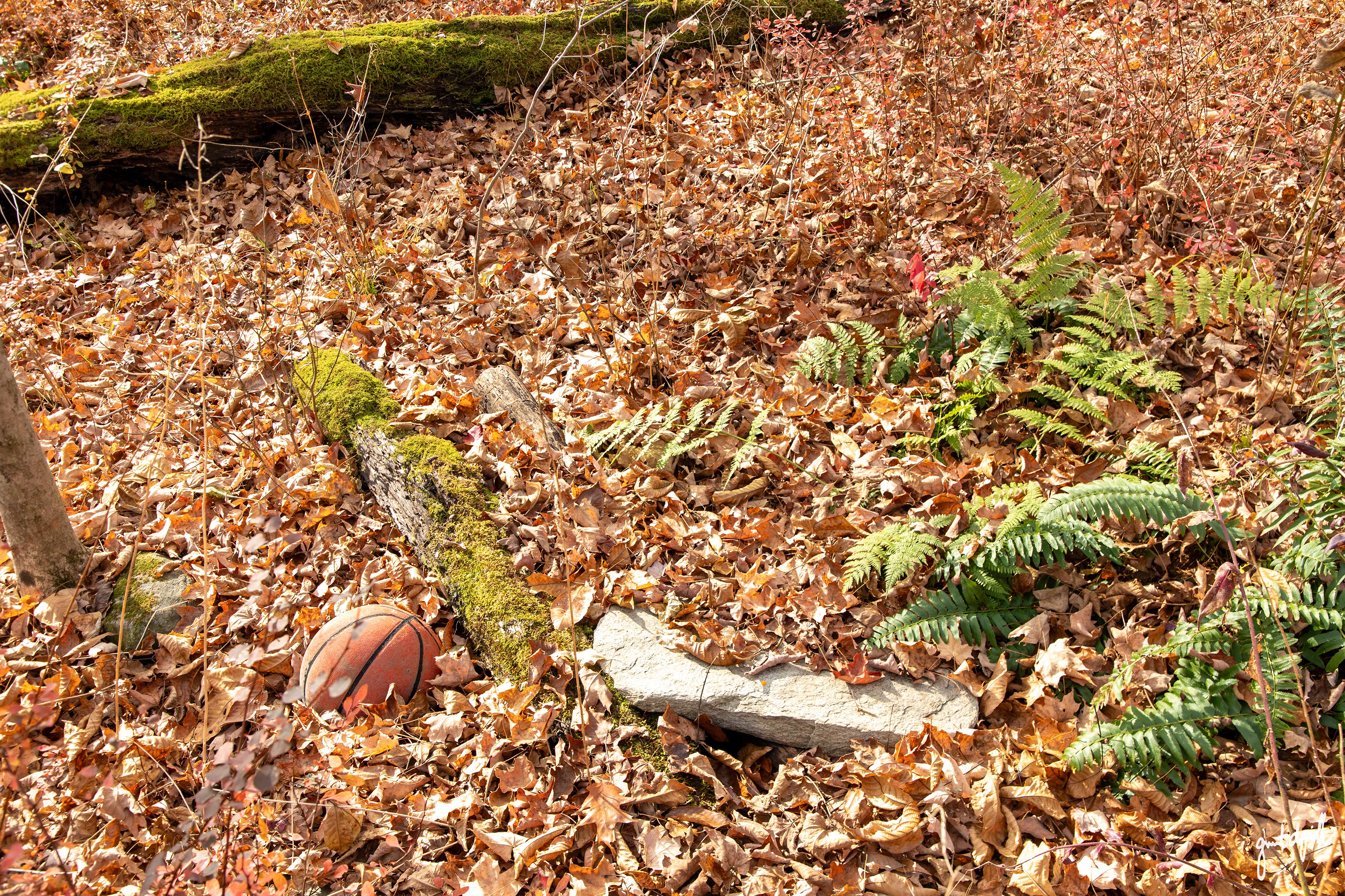
Standing here, it's fascinating to imagine what this little homesite might have looked like centuries ago.
A house, a chimney sending smoke into the air, perhaps a small garden, livestock, and a well that once provided water for an entire household.

Today, all that remains are stones, a depression in the earth, and a few scattered reminders of the people who once called this hillside home.
Wrapping Up
It's easy to walk through the woods and look right past clusters and stacks of stone.
To put it bluntly, New England has no shortage of rocks, much to the dismay of modern day farmers and even home gardeners struggling to plant flowers and trees.
Glaciers deposited billions of them across the landscape, some as large as a house or even larger.
But even if you're accustomed to seeing rocks everywhere, paying a little closer attention to the landscape can reveal evidence of settlements long since forgotten.
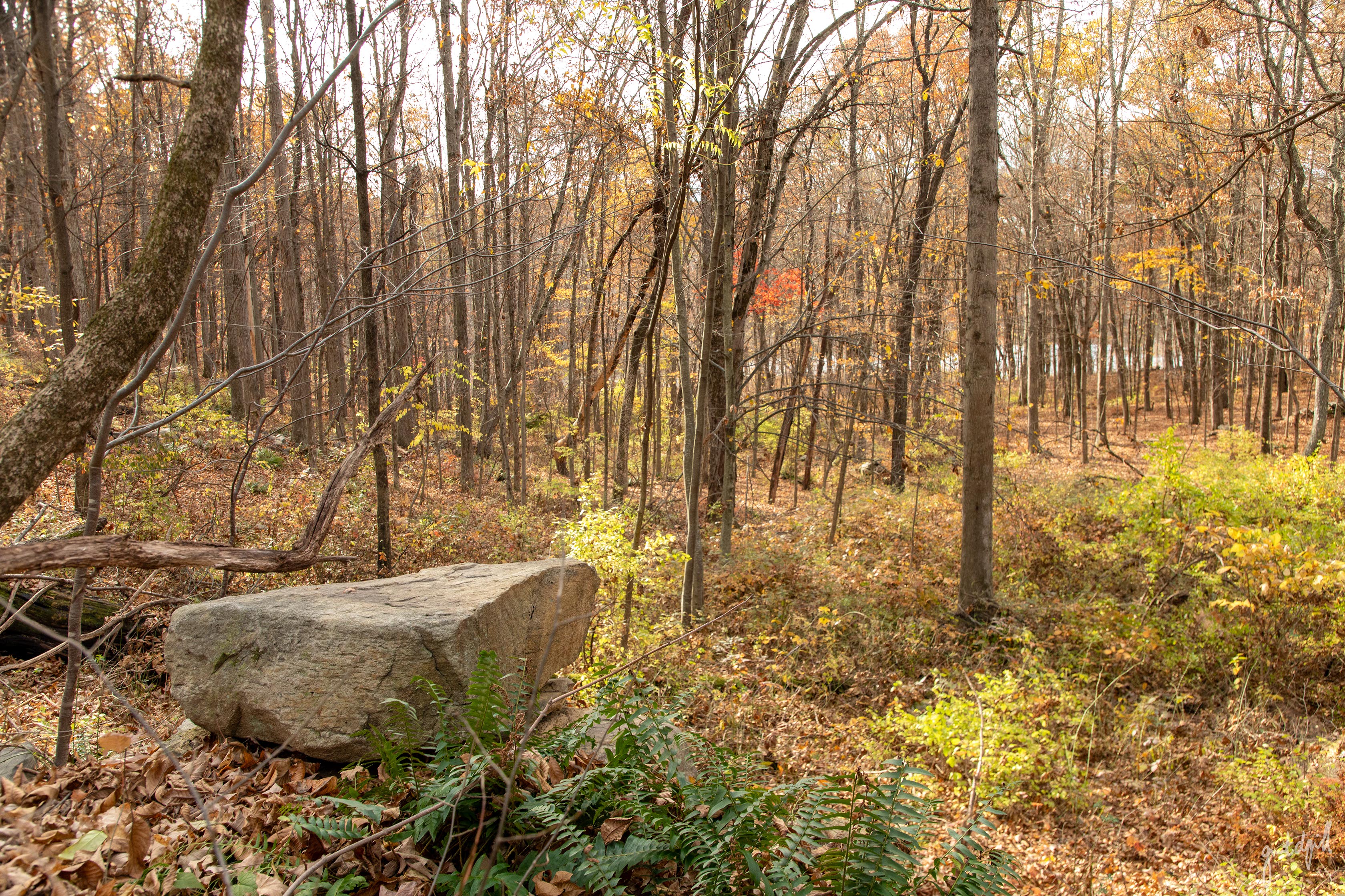
These places were once someone's farm, home, and livelihood, in an era when everyday life was a matter of hard work and survival. There was no Amazon delivery bringing paper towels to the doorstep with a swipe of a thumb. Nearly everything needed to sustain a household had to be grown, raised, built, or made by hand.
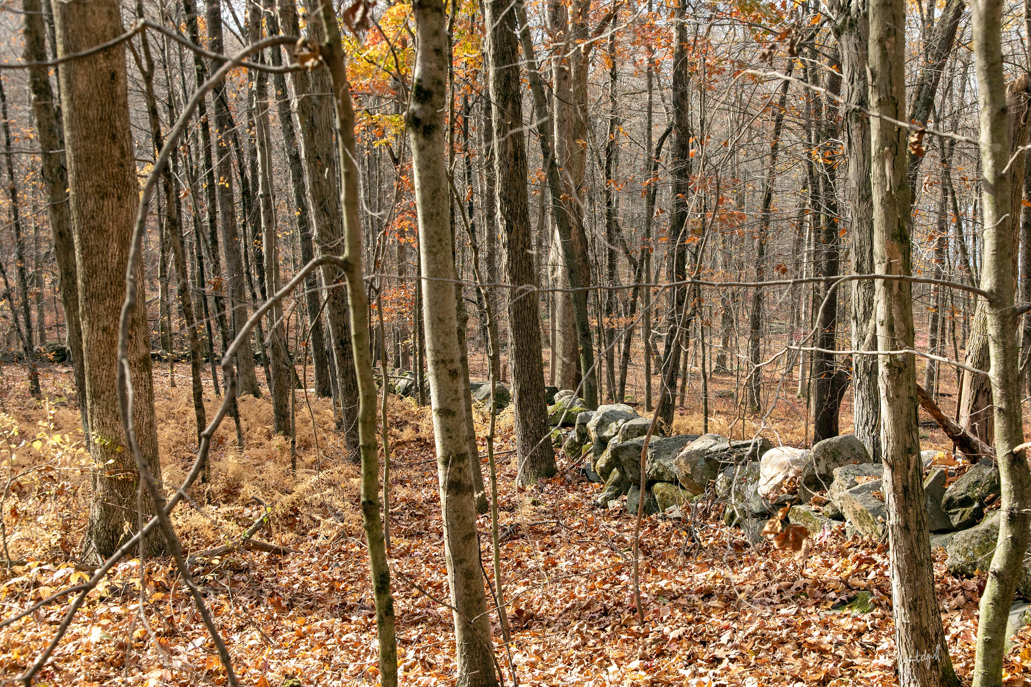
The people who constructed these homes are long gone, and nature has reclaimed much of what they left behind. But centuries later, traces of their lives remain, marked by neatly stacked stones and foundations that have outlasted the homes they once supported.
They're easy to overlook, but once you learn to recognize them, you start seeing the landscape a little differently.
At risk of sounding a little “out there”, standing among those stones, you can almost feel the presence of the people who once called these woods home.
An Important Note on Exploring Sites Like These
These and other ruins are former home sites “in the raw”.
There is no maintenance like there would be at a museum or historical park setting.
These and others often had hand dug wells and cisterns, most still full of water and can be very deep.
Sometimes these are wide open, but most of the time they have been covered in some way.
I have personally seen some covered with rotting wood, flat stones, branches, and most disturbingly, in Litchfield came across a well that was so obstructed by ferns and I almost walked right into it.
This would have made for a very bad day.
Furthermore, stones may be unstable in the structures, and other hazards like iron rods/tools etc. can lie just below the leaves.
Enjoy, but please avoid climbing on foundations and treat these sites with the respect and care they deserve.
Sources:
Orcutt, Samuel. History of the Towns of New Milford and Bridgewater, Connecticut, 1703-1882. Press of the Case, Lockwood and Brainard Company, 1882.
George Washington Papers, Series 4, General Correspondence: Alexander McDougall to George Washington, November 3. November 3, 1778. Manuscript/Mixed Material. Retrieved from the Library of Congress, <www.loc.gov/item/mgw452484/>.